

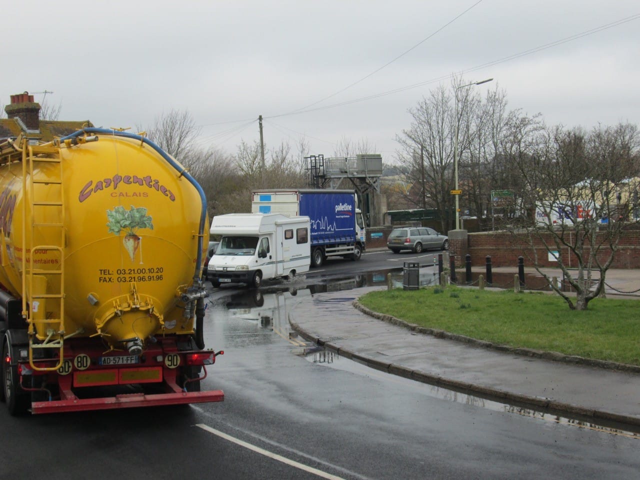
Winchelsea Road was partially flooded last Thursday, February 21. It was a sunny day with no rainfall, so the obvious cause was the day’s high tide registering four metres at 12.19pm. Kathy Varley, whose home overlooks that stretch of road, took the photos.
Colonel Anthony Kimber, chairman of Rye Emergency Action (REACT) and coordinator of the Rye Neighbourhood Plan commented afterwards:
"My view is that this is partly sewerage system overload (via obvious drain cover in pavement); partly Highways road drains and at times partly leaks through the Strand Wall at high water. The result is surface water ponding as seen in your images. At high tides such as we have seen recently, any water cannot gravity drain into the Strand. I have never been clear about drainage into the Strand from the road at this point, although it has been claimed that it is via a drain pipe (flap controlled) down to the around silt level.
"This periodic ponding is recorded in the ESCC surface water study and also features on the Rye Neighbourhood Plan. I will take this up again with the agencies involved: the Environment Agency, Southern Water and East Sussex Highways Dept."


