


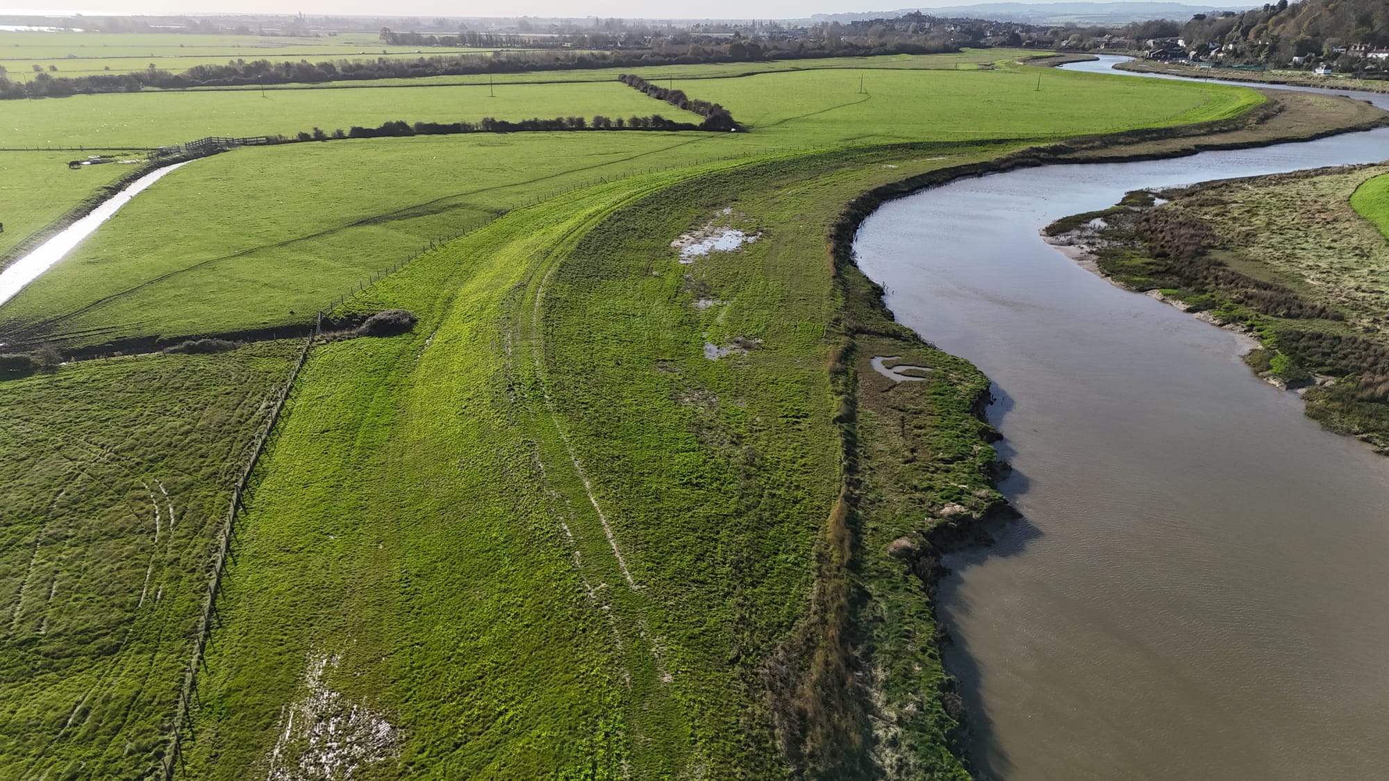
Sections of public footpaths by the River Rother may reopen in April or May if grass has re-established after earthmoving work to raise the river's east embankment.
The Environment Agency's £36million Rother Tidal Walls East (RTWE) project has finished after three years' effort — save for minor work to reinforce the bank against "scouring" beside Monk Bretton Bridge and the removal of a haul road around Rye rugby club.
Regarding the footpath closures, Ali Taylor, technical advisor in the EA's asset performance team, says the agency appreciates how frustrating it's been for local people but that it's important to allow new rye grass and wildflower seeding to take hold. "We are keen to get them [the paths] open as soon as we can... but we don't want to compromise the establishment of the flood defences."
There will be a two-year maintenance period for the new Rother tidal defences.
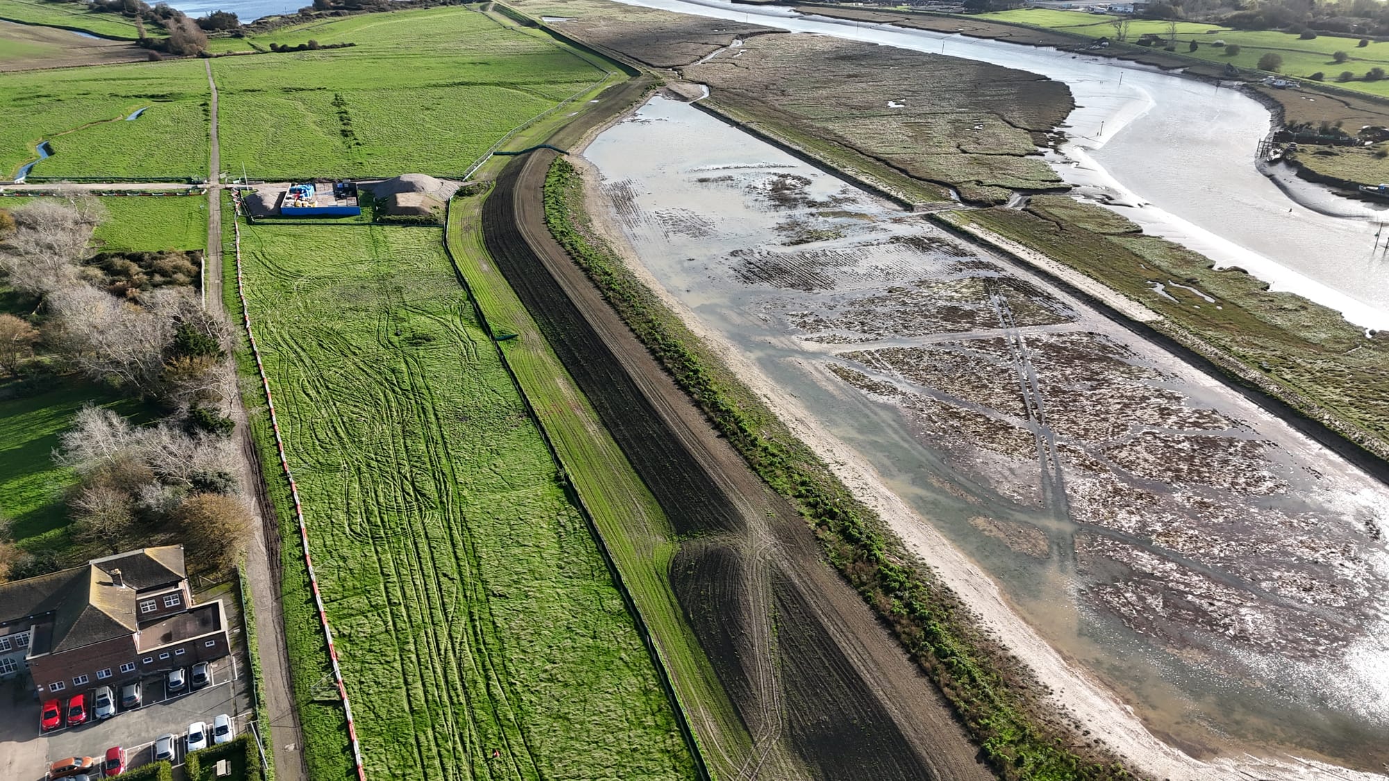
Four hectares of new saltmarsh are being created in a set-back area in Camberfield, with just over half this area designed to compensate for "coastal squeeze" — the phenomenon whereby man-made measures (such as raised river banks) trigger the loss of natural habitats as climate change occurs and sea level rises.
Three channels five to ten metres wide allow river water to flow in and out of Camberfield at high tides. It's expected the saltmarsh will take 15-20 years to establish, during which time the site will be monitored alongside Natural England.
You can see the scale of the new saltmarsh in this panorama shot by Stu Cooper from Clear Air Flying in Winchelsea. Click on the picture to see it from different angles.
The EA's project executive Peter Borsberry says additional finance has now been allocated for the unanticipated scour repair by the bridge and the work will probably take until summer or autumn 2026.
"It wasn't in the original scope of the project. Obviously, the river's dynamic and there's been extreme weather conditions over the last few years."
While the RTWE project has been designed to last 35 years — protecting Rye and district from tidal flooding — the defence strategy will be assessed every ten years and constant monitoring will take place. Given the uncertainties over sea level rise in coming decades, this is clearly an essential precaution.
However, Peter points out the area's river banks are now better defended than before, with the banks raised to protect against sea level rise.
The RTWE project forms part of the 100-year Folkestone to Cliff End Strategy (FoCES) designed to protect the entire Romney Marsh coastline. The EA says there remains a 40m section between Greatstone dunes and Littlestone lifeboat station — currently protected by annual shingle recycling — where they will either build a sea wall or install an additional groyne to raise the beach in the next five years.
Matthew Alcock, senior project manager with EA's contractor VolkerStevin, says the Rother's eastern river bank has now been raised 50cm to a height of 5.8m and widened by an average of 5m using 200,000 tonnes of clay from Pluckley. The original haulage task of 65 trucks a day of clay was increased to 75 from the second year.
"One of the key goals was not to send anything to landfill or waste, and any spoil [topsoil, subsoils] has been retained and reused," Matthew reveals.
Bad weather, especially the wet summer of 2024, posed a major challenge to the project. In fact, the first eight weeks of work in spring 2024 were lost as water had to be drained from the worksite. More equipment was brought in to deal with the problems nature dealt. Fortunately, the weather in summer 2025 proved much better.
Only 5,000 tonnes of road stone were needed to create haul roads, because clay roads were largely incorporated into the embankment worksite. In total, 80,000 onsite working hours were carried out by the project's workforce.
[embed]https://www.youtube.com/watch?v=RAJu6OfGRjE[/embed]
A number of innovative solutions to earthmoving and engineering challenges enabled the contractor to complete certain work ahead of schedule and at lower cost. For example, a special "spider excavator" was used for piling along Union Sluice and the 150-metre King's Avenue bank section, cutting the job time by half, reducing carbon emissions and saving £600,000. Other measures were taken to cut CO₂ — such as electric vehicles, solar panels and the use of HVO biofuel for all excavators.
In fact, VolkerStevin was given a "Most-considerate constructor" award in the nationwide Considerate Constructors Scheme last year. This took account of community outreach efforts, bird surveys on site and a donation towards the community bus.
Sadly, Ian Nunn, the EA's sponsor for the RTWE project, passed away suddenly in summer. After growing up on an East Sussex family farm, Ian studied as a civil engineer and he had worked for the EA for 35 years. The teams he managed maintained and operated coastal and flood defences for East Sussex, Kent and South London.
He said in early 2020 that, "My commitment is to significantly reduce the risk of flooding and its impact to people, property and infrastructure. I enjoy creating, building and maintaining things that make a difference to people's lives."
Ian was at that time involved with organising work to protect Rye Harbour and — importantly — to manage the flow of water within Rye Harbour Nature Reserve. In 2019 he appeared in an episode of Antiques Road Trip, in which he spoke about the Martello towers and the Military Canal. His significant and vital contribution in protecting Rye and the surrounding district from flooding will be remembered.